Jahkarli Romanis
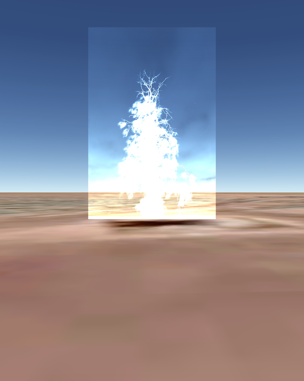
The project aims to explore ways in which visual systems of cartography, such as Google Earth, have continued to omit significant Indigenous sites, sustaining colonial narratives within Australia and the myth of 'Terra Nullius’. The image Waddi Tree highlights the biases present in contemporary digital mapping technologies by subverting colonial ways of thinking and image making. This project demonstrates that maps are not neutral, scientific representations of land and place but are inherently political. Google did not obtain permission to publish Pitta Pitta Country (located in the Western region of Queensland) for the world to access, capitalising from the maps they have created of stolen land. The Waddi Tree is an image which was created to acknowledge that this is a sacred tree to my people. It stands where Google Earth’s representation of the tree is reduced to a dark shadow of pixels.
Waddi Tree, 2020
Multilayered digital photograph